
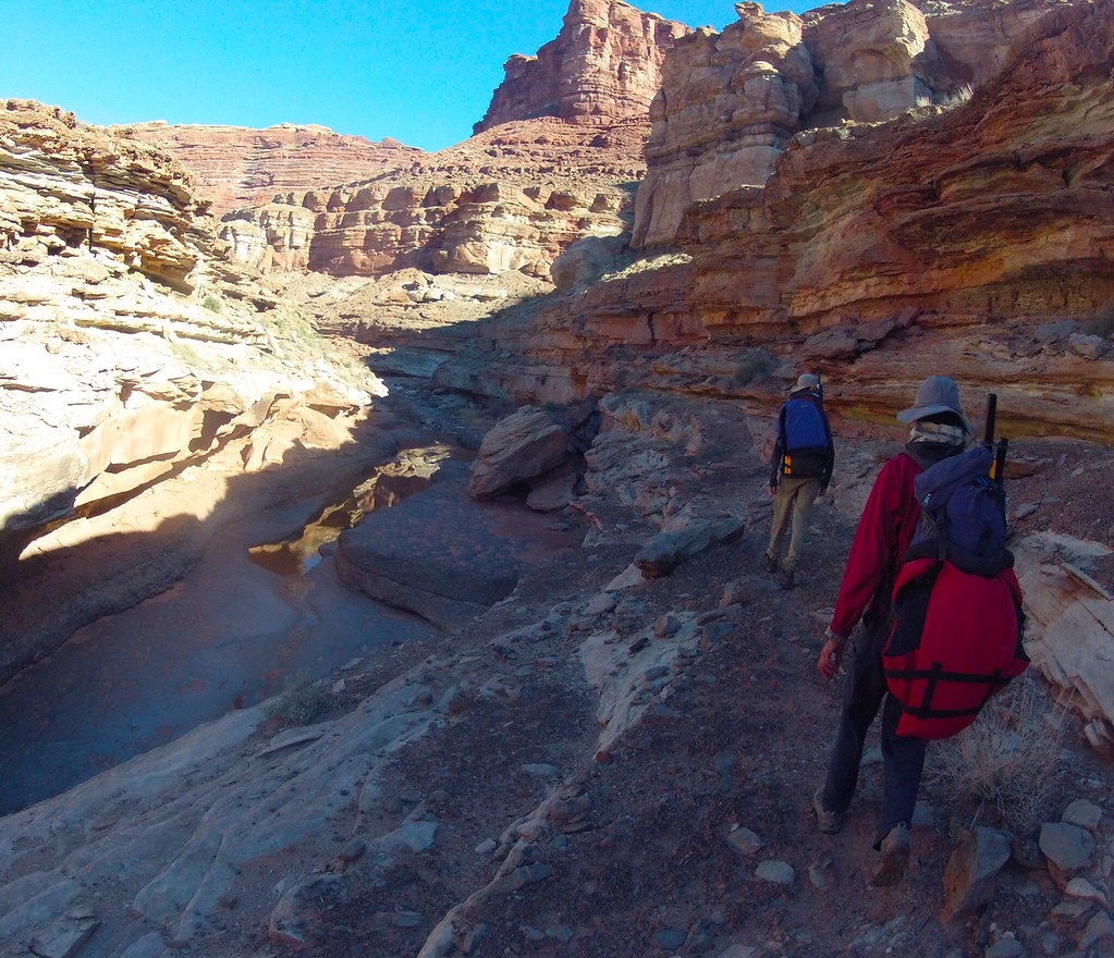
March 2014: We started at the end of the road by the Confluence trailhead. After a few minuutes we veered off the trail right into Big Spring Canyon. Crisp morning air and abundant water made for pleasant hiking, with the odd minor obstacle thrown in now and then.
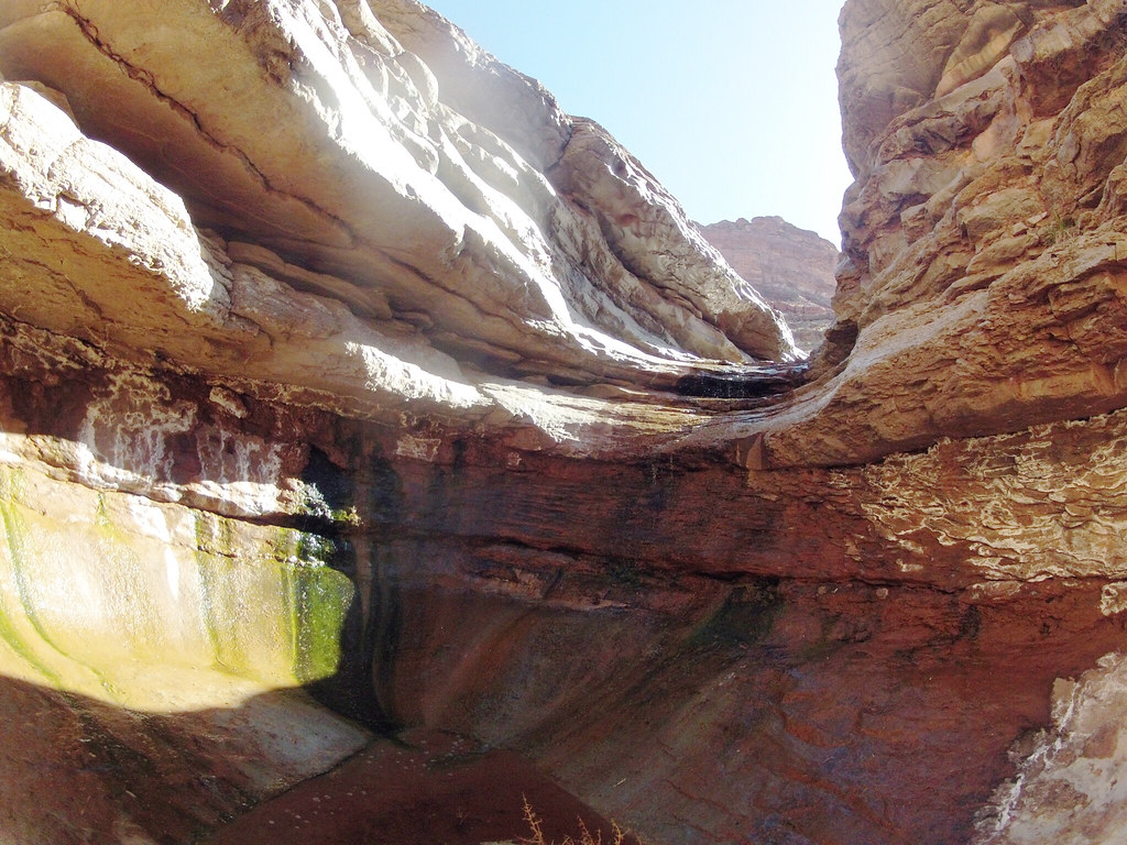
This slimy little descent on polished wet limestone was tricky. No anchors above, but also without huge consequences if one slipped (which some of us did), except getting soaked as the landing was a deep pothole.
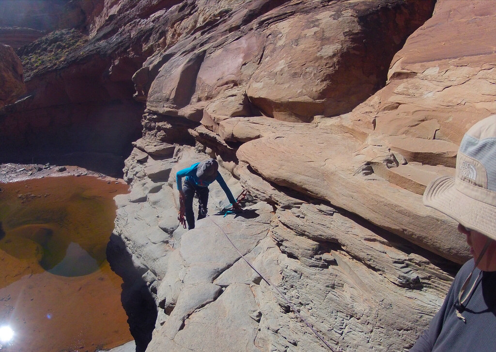
A little downstream of the confluence between Big Spring and Salt Creek was the only halfway serious hinderance to reaching the Colorado River: a 40′ pour off. Here Sonja is rigging the anchor, a couple of rusty 1/4″ bolts, with a backup piece of fresh webbing.
The serene pool below the rap.
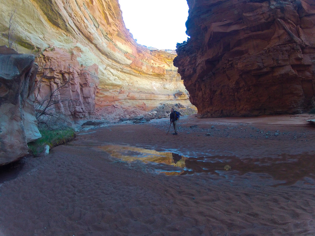
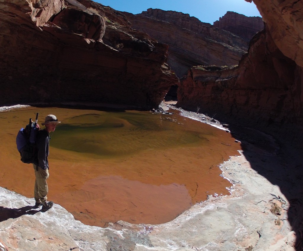
Lower Salt is deep and scoured clean by the huge floods coming down this long drainage. Here we are less than a mile from the river.
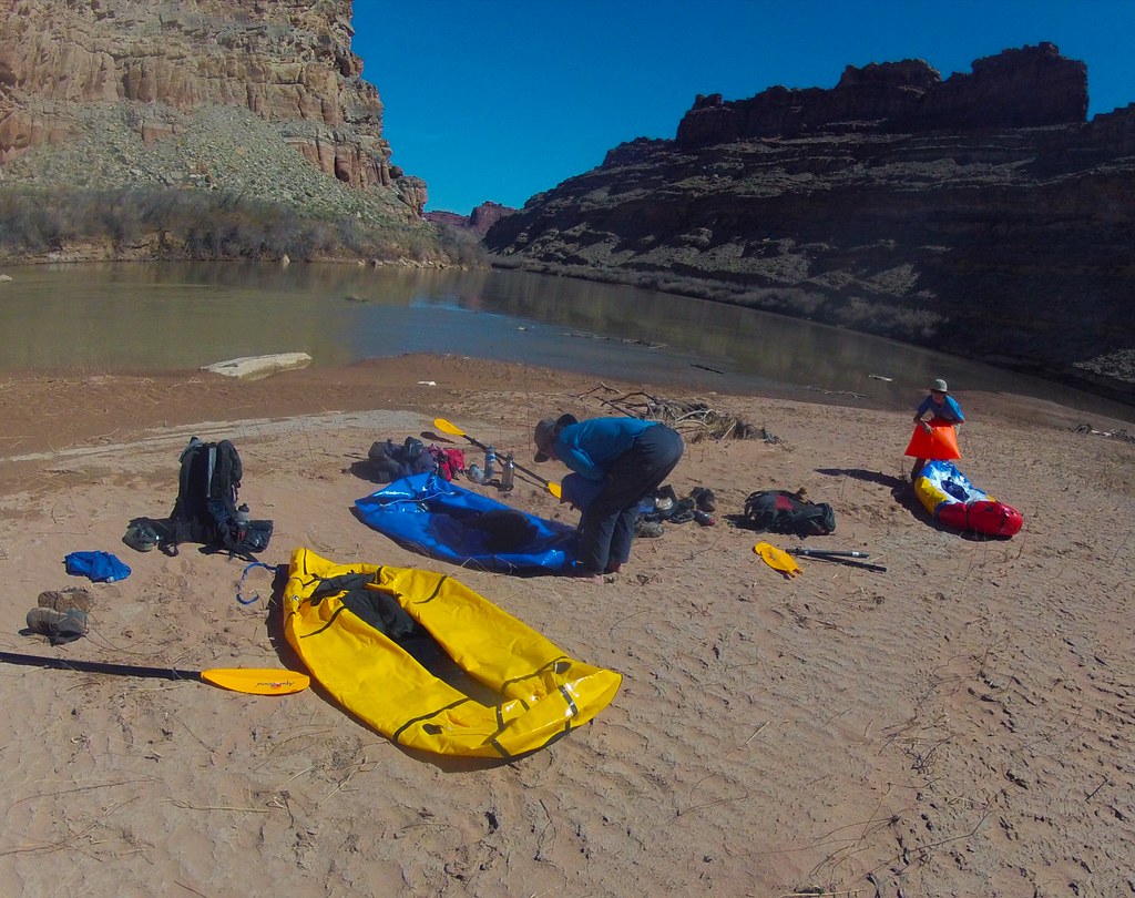
Getting to water’s edge was simple with no impenetrable tamarisk thickets or expansive mudflats. Rigging our packrafts at this sunny open beach was a joy compared to the typical fare.
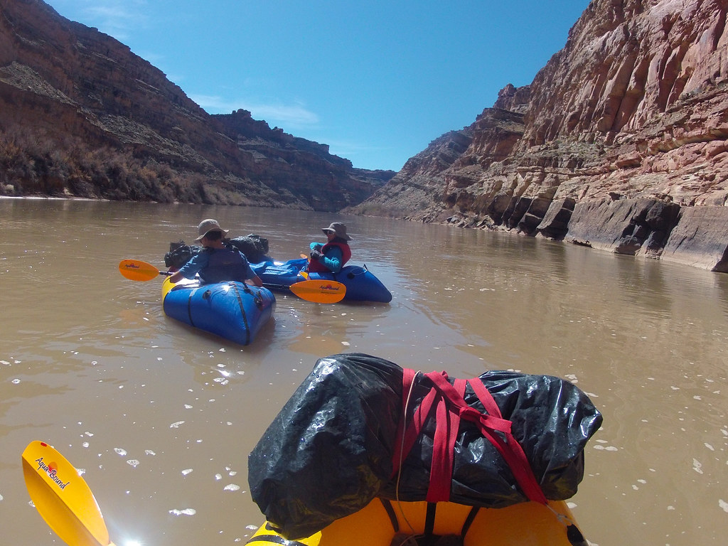
The float in the frigid runoff was about 4 miles and featured the Slide, probably the only ripple between Moab and Spanish Bottom. Not pictured, but it was pretty exciting.
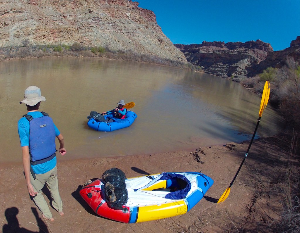
At a spot just upstream of the confluence between the Green and the Colorado we scoped out a break in the canyon walls the we hoped would lead to the top. We landed here, packed up and started scrambling up.
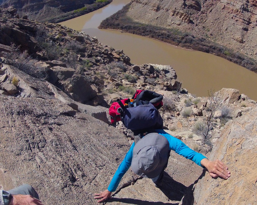
The route was steep and scenic. It lead up talus, exposed ramps and little walls. Here Sonja is grappling with one of the little problems.
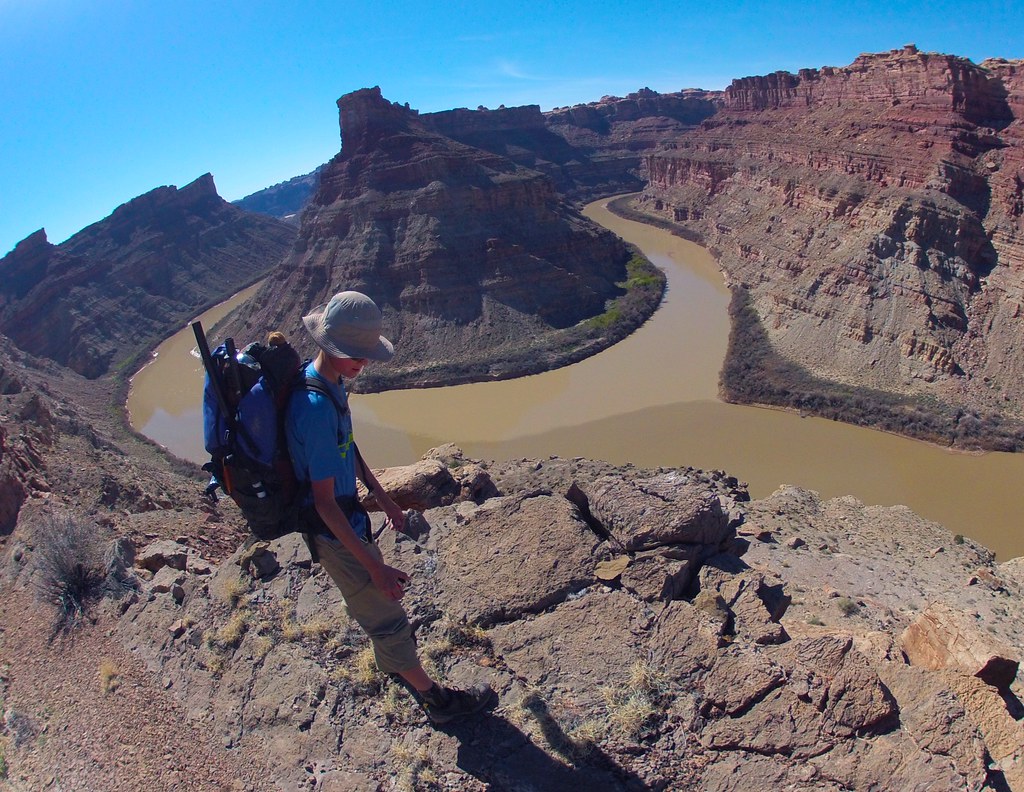
This was a pretty good view of the Confluence. Bjorn posing.
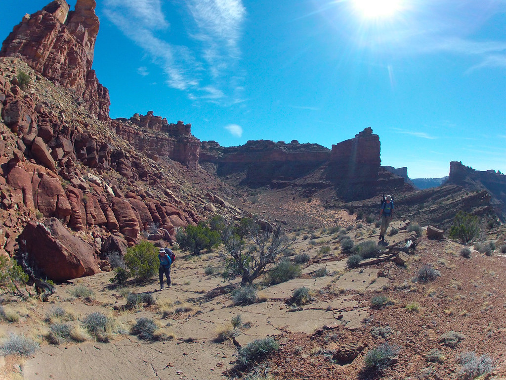
Up higher we encountered hard to follow cairns leading us on a circuitous route around a multitude of buttresses and benches before getting us safely deposited on the maintained Confluence trail, which in turn took us back to the start.
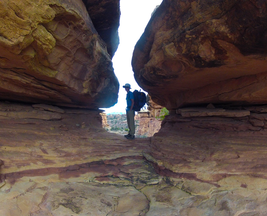
Near the finish.

I am in the process of planning a similar trip. I want to go down big spring canyon, but I am curious, is it difficult to find/ follow the trail? Also I was wondering if making it to Spanish Bottom in one day and camping there seemed doable? Then the next day hiking out on Lower Red Lake Canyon. I have done Lower Red Lake to the Maze before, but I’m looking for a quick weekend trip.
LikeLike
Making it to Spanish Bottom via Big Spring/Salt Creek in a day is not unrealistic.
Big Spring does not have a trail. After merging with Salt there’s a few spots of somewhat technical down climbing, and one 30′ rappel.
If you want to avoid the rappel and technical drops, use the ‘cat track’ route instead, starting on the Colorado River Overlook road behind the visitor center. More paddling on this route, but as fast.
LikeLike