Dry Treated Down

Dry treated down.

In this article we use the words ‘loft’ and ‘lofting’ to describe downs ability to expand after compression, and ‘fill power’ to define this lofting quality: the higher number the better.

We have been in close contact with premium quality down for more than 15 years, from when 750 fill power was the top shelf standard to current claims of 900 and beyond. Hand filling every bag and garment with down gives one an instant tactile quality assurance.

This year Nunatak introduced chemically treated moisture resistant down (hereafter: dry-down) as an option for all products. While stamped as having the same 900 fill power rating as the regular down offering, our assessment reveal distinct qualities setting these two types apart.

The short hand conclusion: Dry-down may offer a defense against moisture, but lacks in initial lofting ability. Long term lofting may not ever catch up to that of comparably rated untreated down.

The points of our findings:

Yes, dry-down will ward off moisture. There’s a difference.

When wet it’s of limited use, just like regular down – but it appear to dry much faster. Maybe the dry-down treatment limit the depth of the moisture infiltration.

900 fill power is 900 fill power, right? Not. Dry-down, in the batches we have worked with, displays less initial lofting ability compared to regular down. Aggressive ‘fluffing up’ helps, but in our production process the end result is still inferior to regular down.

Because of this, Nunatak have decided to add an extra percentage of fill to dry-down products to achieve a given temperature rating.

Dry-down products from Nunatak will be heavier than stated in the specs, and will feel denser.

After storage dry-down will take longer to loft up. Shaking, patting, massaging may be necessary.

Remove your dry-down filled bag from its stuff sack as soon as the tent is up.

On the trail take all the usual steps to limitt your dry-down product’s exposure to moisture.

Dirty Devil packraft loop

Quick overview:
Last weekend in Feb, 2016, with my son and his buddy. Three days.
Easy hike down to put in, with a spring nearby. Maybe 3 miles.
Water level 100-120 cfs. Lots of hunting for the deeper channels. Some wading. In and out of the boat a lot. Still fun.
Excellent hiking in No Man’s and Larry’s.
Set off most of a day for the Burr Point exit. Incredible hike. 7 miles.
Lacking two cars so we did a bike shuttle. 18 miles of easy riding, avoiding the highway.
The pics:
The boys waking up the Angel TH
Down to the river
Getting clear cold water in Angel Cove. Never mind the dead duck we fished out first
Launch
Early on day 1
No Man’s Canyon
No Man’s Canyon
Bottom of Larry’s. Another big canyon with excellent hiking and scenery
On the second day on the river we made to a camp at the mouth of Twin Corral, arriving as the sun set
The boys harvesting tamarisk for the campfire
Crossing the river from camp to the hike out
On the Great Alcove route up to Burr Pt
Quite a few miles of the trail follow this sloping  bench
At times it looks the route won’t make it
The little climbing step right before topping out at the point

Nunatak changes hands

DSC04083

Tom started Nunatak in the late nineties, with fresh ideas about sleeping bags. Backcountry quilts, now an established concept, were hard to find commercially, and as such offered a substantial basis for an opportunistic gear head.

Around 2002 other fringe Nunatak products besides the quilts got things going, and Tom contacted me to join in. We had met 10 years earlier working at the old Capitol Hill REI in Seattle and since sealed the friendship with many backcountry epics.

During seven years in the shop together we firmly established Nunatak as a leader in ultralight high end down equipment offering unlimited custom options. In that period we launched the companion product to the successful Arc Alpinist quilt, namely the Skaha Down Sweater .

Moving with the family to the Southwest in 2009 had me looking to other aspects of the outdoor industry, mostly as an adventurous user as opposed to a tinkerer and innovator, until this past summer when Tom and I started talking about Nunatak again.

This time Tom felt like he needed, reluctantly, to let go completely of the company, as other ideas were starting  to take over. I, too, was ready for a change and finally on December 2, 2015 I acquired Nunatak.

I have based most of my life on the challenges of wilderness travel, alternately as a guide, writer, designer, and, probably more than anything, seeker of remote places.

I hope you will consider Nunatak Gear in your next quest for ultralight equipment!

the maze from millard bottom

The boat and bike.

Solo Maze trip, with a twist.

During a spring 2014 outing to that certain remote part of Canyonlands I combined three non-motorized ways of travel, namely mountain biking, packrafting and hiking. While it sounds complicated at first it turned out remarkably simple both in planning and execution. This was important as I, as usual, conceived the idea to this trip some 36 hours before setting out.


On the river side of the Maze, there’s only one spot where a road leads all the way down to the water: the mouth of Millard Canyon on the Green. It’s directly across from the White Rim road in the Island in the Sky district, near a spot where this road also dips down close to the river.


Seeing a potential back door to the Maze not needing 4×4 wheels, jet boats or a long commute to Hans Flat I packed up the bike with some light bivy gear, 3 days of food and a 5 pound Alpacka raft and pedaled out the White Rim. Nearly 10 miles upstream of Millard I launched the boat with the bike and everything and leisurely drifted with the current.


At around noon on day one I pulled up on the beach at Millard and began the 25 mile ride to the Maze Overlook. The huge terrain out here, this early in the year, had a very remote feel to it. It was obvious no vehicles had ventured this far out yet for the 2014 season.


Storm cells, headwind and crusty sand made for a taxing ride. At sundown amidst sprinkles I got to camp and quickly dipped below the rim to a secure rock shelter, out of the wind. Had a beautiful evening and excellent sleep.


A bright clear morning on day 2 was ideal for a loop hike into the Maze involving the super fun descent down from the Overlook, the ridge near Pete’s Mesa, Chimney Rock and Pictograph Canyon. 13 miles later, with fresh water from the abundant springs in the canyons I was back at camp for a modest lunch and nap, then relocated my camp to the top of the Golden Stairs, with its far ranging views of the Fins, Ernie’s Country and the benches ultimately leading to Hite.


The third and last day started with mare’s tails, strong gusts and shortly followed by building darkness to the west. Ahead of me I had a long cruise back to the boat, but hoping for at least partial tailwinds I decided to spend a few hours first descending the Golden Stairs trail and visiting Lou’s spring on the outskirts of the complex Fins area. Unable to completely relax, with an eye constantly to the sky, I rushed this amazing hike leading to an area worthy of many days.


Back up I cleared out before 11 and pedaled non stop for 3.5 hours to arrive at the Green in complete overcast, ominous conditions. Relieved to find the raft not absolutely destroyed by pack rats (a worry that stressed me out most of the ride back!!) I recrossed the river and rode the White Rim back to the car. That evening it rained hard over the entire region. Over the span of three days I saw just two jolly backpackers at the Harvest Scene.


For full disclosure I should remark that although I secured a permit for this trip, I was later contacted by the NPS and told that it is illegal to move a bike on the river. Whether this obscure rule is in fact in the regulation book or merely a misinterpretation by an office bound ranger remain to be discovered


All photos with a GoPro Hero 2.


A minor defile below the Buttes of the Cross


Rock shelter bivy


Water in the desert!!!


If there’s a cairn there’s probably a way.


Moki steps


More fun Maze mazing.


This catwalk would have freaked me out with a heavy pack along.


The incredible Lou’s spring, unfortunately marred by the bizarre tragedy of last year. Thankfully I had forgot about it until returning.


Golden Stairs tarp camp.


The bike, a Surly Krampus. Socalled mid fat technology.


Golden Stairs trail, a hard to follow jumble of broken rock and debris zig zagging down thru layers of sandstone. On the map marked as 1.3 miles but gps’ed at 2.2


China Neck


Yes that little thing of a mere 5 lbs can haul a full size mtb and do class 4 (with an optional spray deck)

big spring canyon packraft loop

March 2014: We started at the end of the road by the Confluence trailhead. After a few minuutes we veered off the trail right into Big Spring Canyon. Crisp morning air and abundant water made for pleasant hiking, with the odd minor obstacle thrown in now and then.

This slimy little descent on polished wet limestone was tricky. No anchors above, but also without huge consequences if one slipped (which some of us did), except getting soaked as the landing was a deep pothole.

A little downstream of the confluence between Big Spring and Salt Creek was the only halfway serious hinderance to reaching the Colorado River: a 40′ pour off. Here Sonja is rigging the anchor, a couple of rusty 1/4″ bolts, with a backup piece of fresh webbing.

The serene pool below the rap.
Lower Salt is deep and scoured clean by the huge floods coming down this long drainage. Here we are less than a mile from the river.

Getting to water’s edge was simple with no impenetrable tamarisk thickets or expansive mudflats. Rigging our packrafts at this sunny open beach was a joy compared to the typical fare.

The float in the frigid runoff was about 4 miles and featured the Slide, probably the only ripple between Moab and Spanish Bottom. Not pictured, but it was pretty exciting.

At a spot just upstream of the confluence between the Green and the Colorado we scoped out a break in the canyon walls the we hoped would lead to the top. We landed here, packed up and started scrambling up.

The route was steep and scenic. It lead up talus, exposed ramps and little walls. Here Sonja is grappling with one of the little problems.

This was a pretty good view of the Confluence. Bjorn posing.

Up higher we encountered hard to follow cairns leading us on a circuitous route around a multitude of buttresses and benches before getting us safely deposited on the maintained Confluence trail, which in turn took us back to the start.

Near the finish.

biking horse canyon, needles

Horse Canyon, Needles.

This tributary to the famous Salt Creek is not as impressively vast, has no springs or running water but instead presents you with miles of deep sandy wash bottom, and, as used to be the case with Salt, permits vehicle travel in it’s entirety.
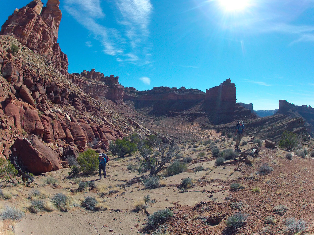
From a backpacking viewpoint at least the water aspect makes it unattractive. But the bottomless sand in Horse takes the joy out of the 20+ mile day hike otherwise needed to view just a few of the sights.
In other words a capable 4×4 is considered the best method of travel. But also here there’s issues. Often the NPS closes off this option, sometimes even for years!
Right now Horse is indeed closed and judging from how things look in there it’s been like that a while. The helpful ranger said the problem stems from quicksand in the very wet Salt Creek approach miles.
I wasn’t interested in the jeeping anyway, as I don’t own such an apparatus. I also share most hikers sentiments about spending 8-10 hours slogging in sand: no thanks. On the other hand these many complications regarding access would surely guarantee some solitude if one actually ventured in there.
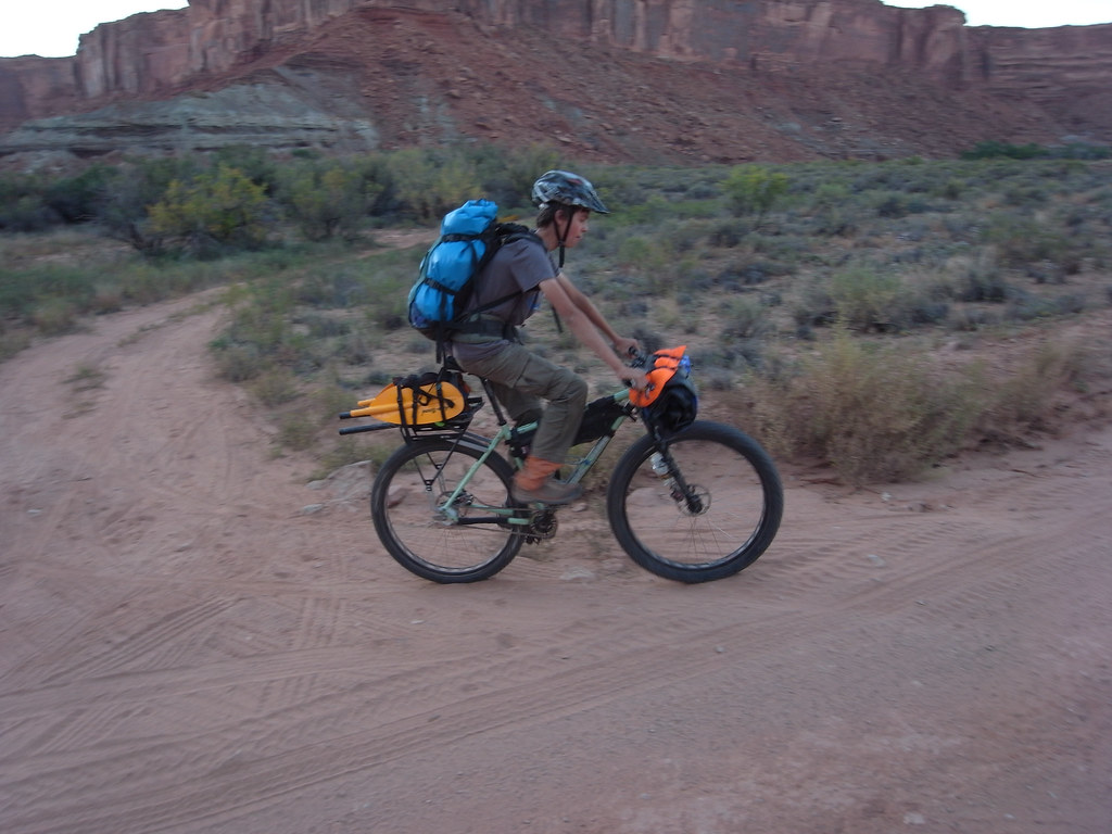
After a week or so of growing fascination with this elusive defile I felt a bike would be the ticket. Not any bike, off course. It’s been tried; just read Kelsey’s experiences! But lately a new breed of all terrain bikes, commonly known as the fatbike, have taken hold of the all too willing consumer. The absolutely massive tires on such a beast will eat up sandy miles effortlessly and cruise on most wintery surfaces, but otherwise doesn’t provide many benefits over a traditional mountain bike. Too much of a specialized rig for me, so I’ve mostly ignored the concept.
That is until a few seasons ago when Surly introduced the ‘mid fat’ moniker and attached it to a unique 29er bike with voluminous tires. They weren’t ridiculously big tires (3″ as opposed to 4.8″), but quite a bit larger than anything seen yet on this wheel size platform. It turned out to be everything I’ve ever wanted in a versatile, no nonsense expedition bike.
While I have used mine on many backcountry multiday trips, I’ve never ventured onto true fatbike terrain for miles and miles with it. The endless sandy washes of an out and back in Horse Canyon would be the test.


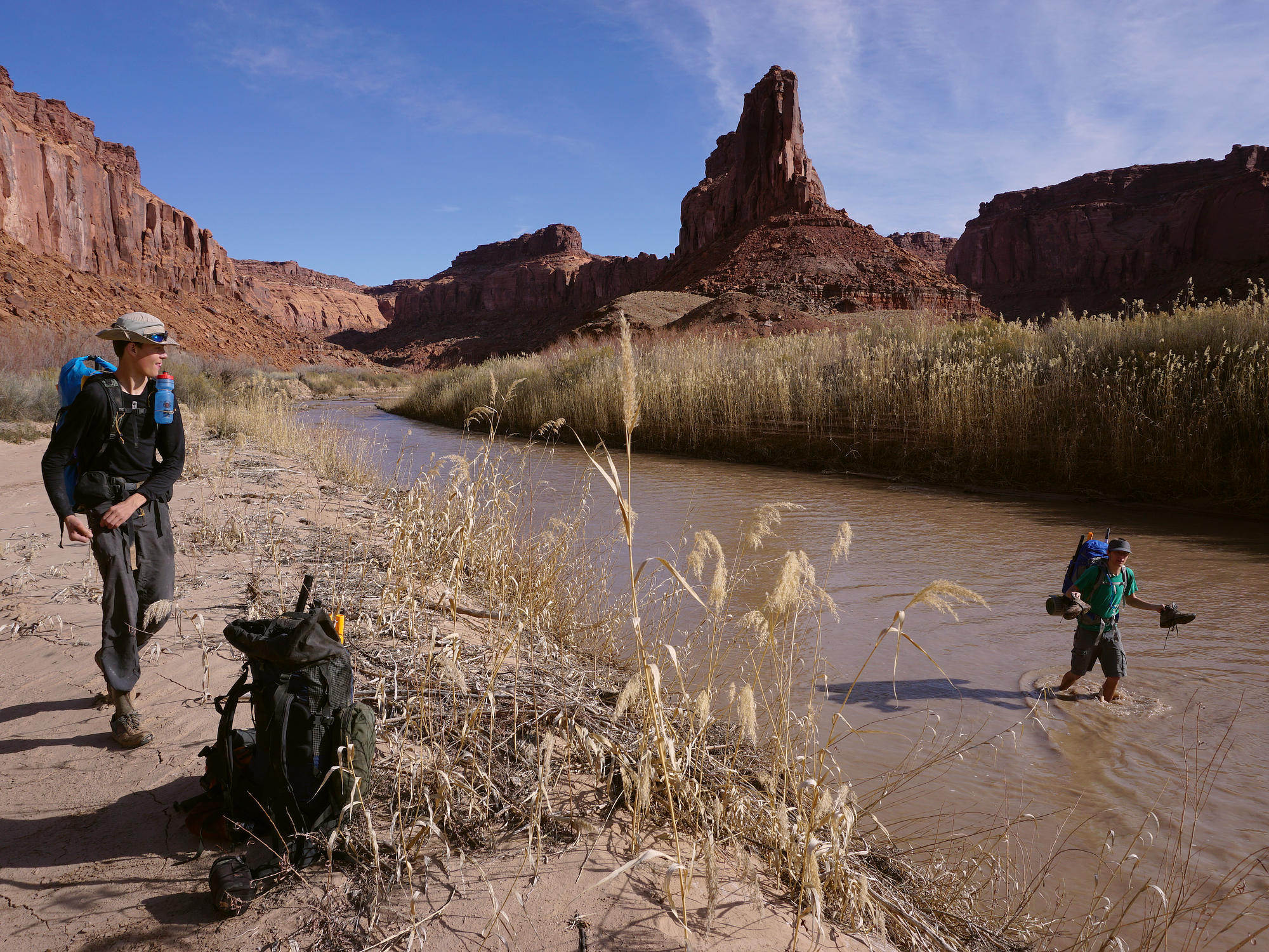
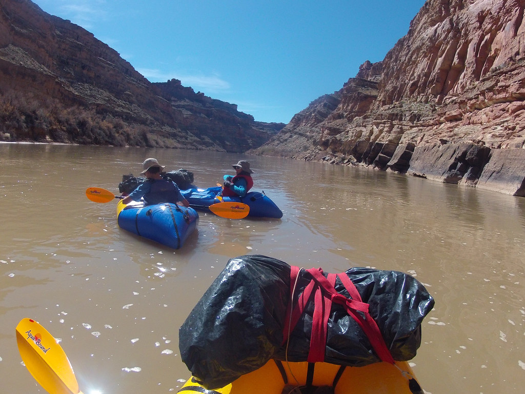
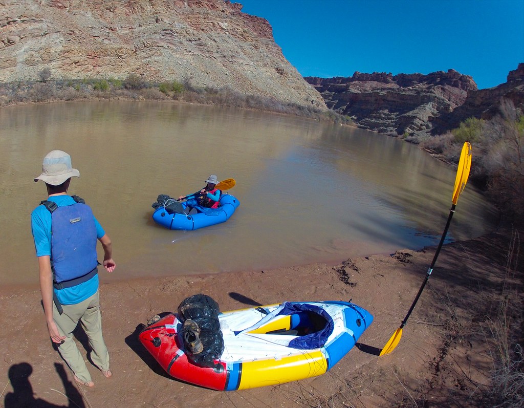
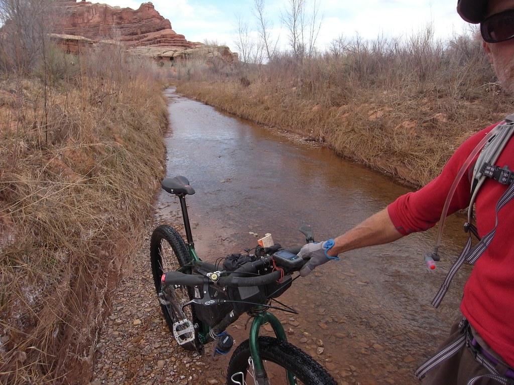
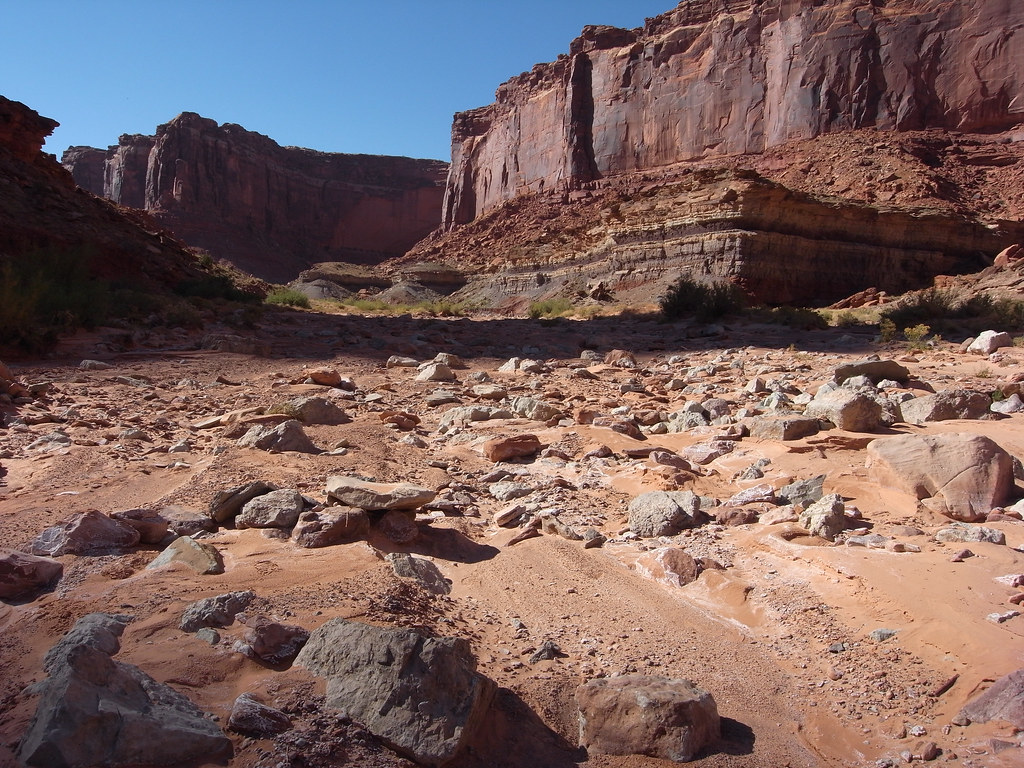
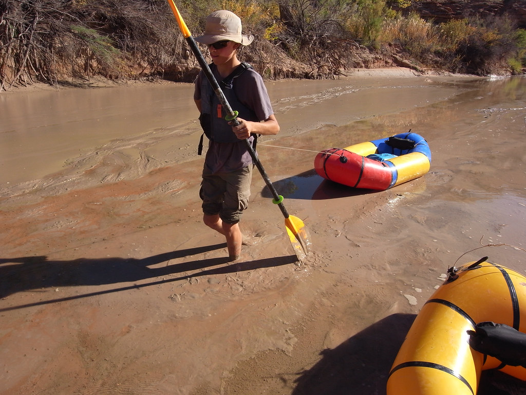
It started out well, although somewhat unusual: a couple of miles riding upstream in several inches of water. This was the Salt Creek part. It had no resemblance to a jeep trail, and I had an overwhelming feeling of breaking numerous Park Service rules by riding a bike through apparent untouched wilderness.
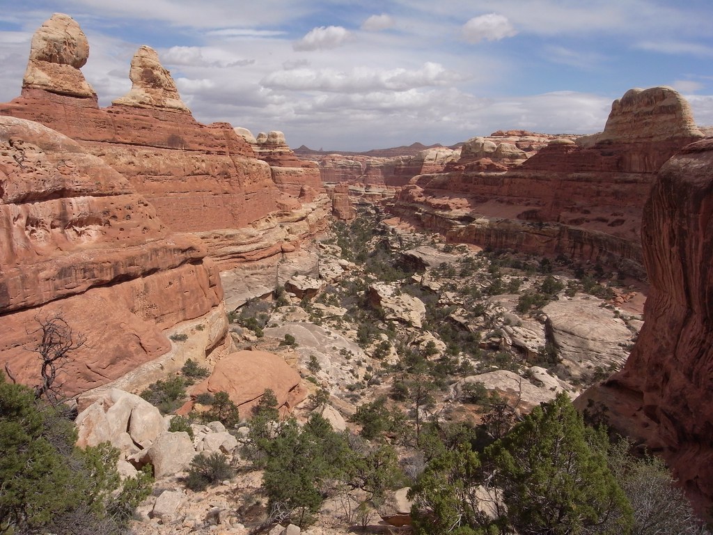
After a while things got confusing with braided stream flow, 3 foot tall recently cut sand banks and willow thickets. Still no sign of this terrain being navigated by vehicles. A promising looking wash off to the left did indeed turn into Horse Canyon. It was off course completely dry and featured wall to wall sand for the next 8 miles.


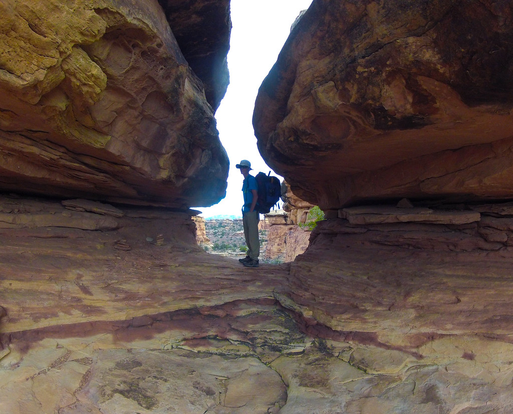
First recognizable feature was Paul Bunyan’s Potty.


More arches ensued. Two trails to these always striking features were marked on the map in the way upper parts of the canyon, and while they eventually led to respectively Fortress and Castle arches, none of of them seemed to have been used or maintained for a long time.

This little sign hidden in the shade of a prolific shrub was the only signage in upper Horse. In the background the overgrown trail.


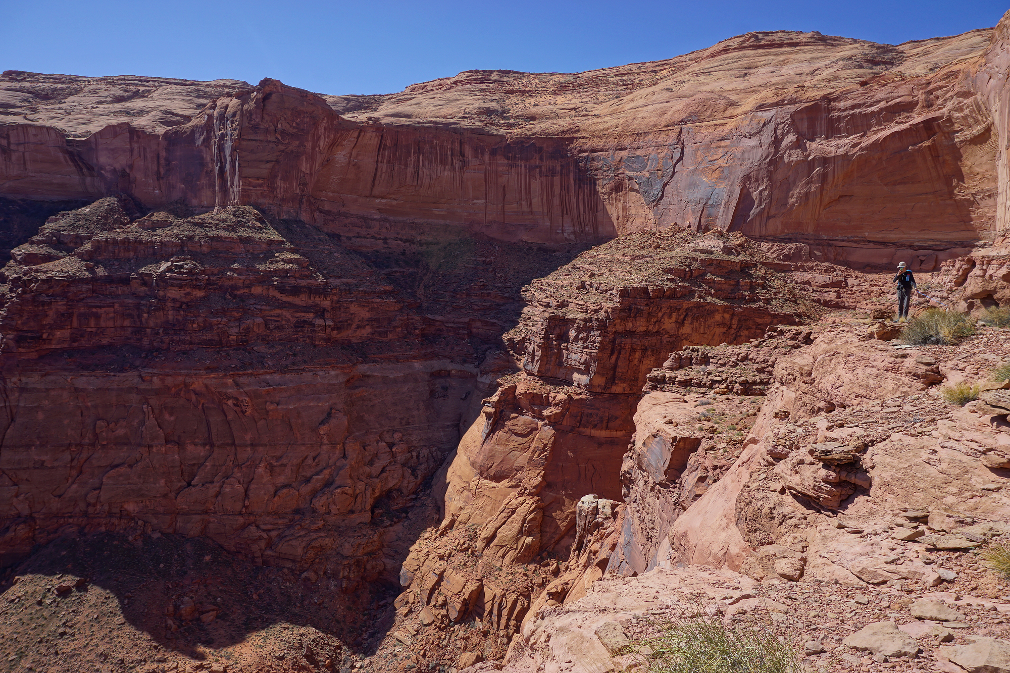
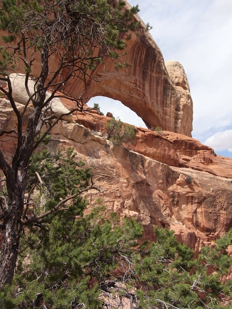
Here Fortress arch from as close as one can get from the southeast side without negotiating the wall in the foreground. It looked doable at one spot, maybe low fifth class, but downclimbing it later would have been scary.


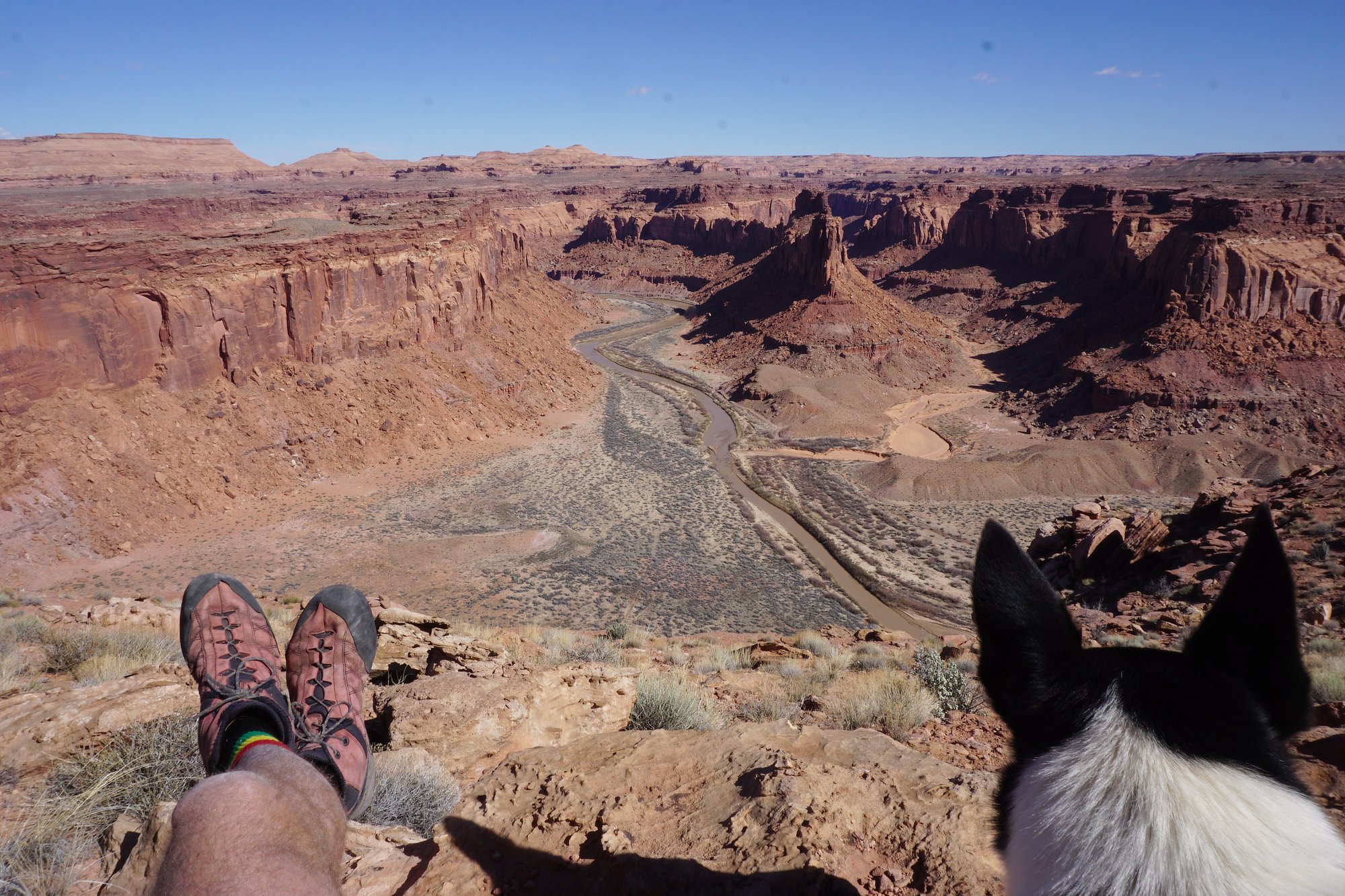
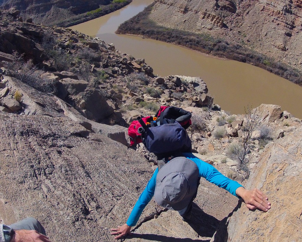
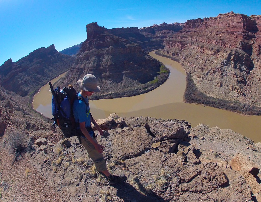
View down towards the main drainage from the same spot as the above pic. One of the Sixshooters, likely The North one, barely visible on the horizon.


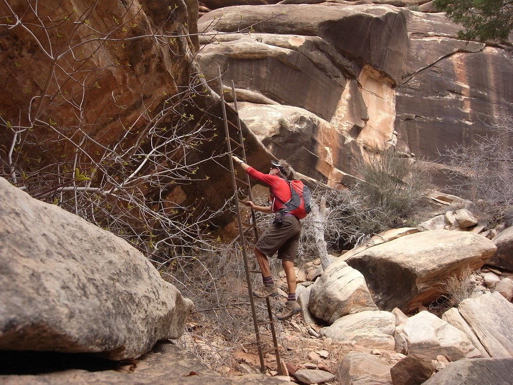
The start to the Castle arch trail was completely unmarked and not obvious at all (one had to pay really good attention to routefinding to find anything in here). Once on this obscure path it surprised me with this seemingly recent ladder installation.


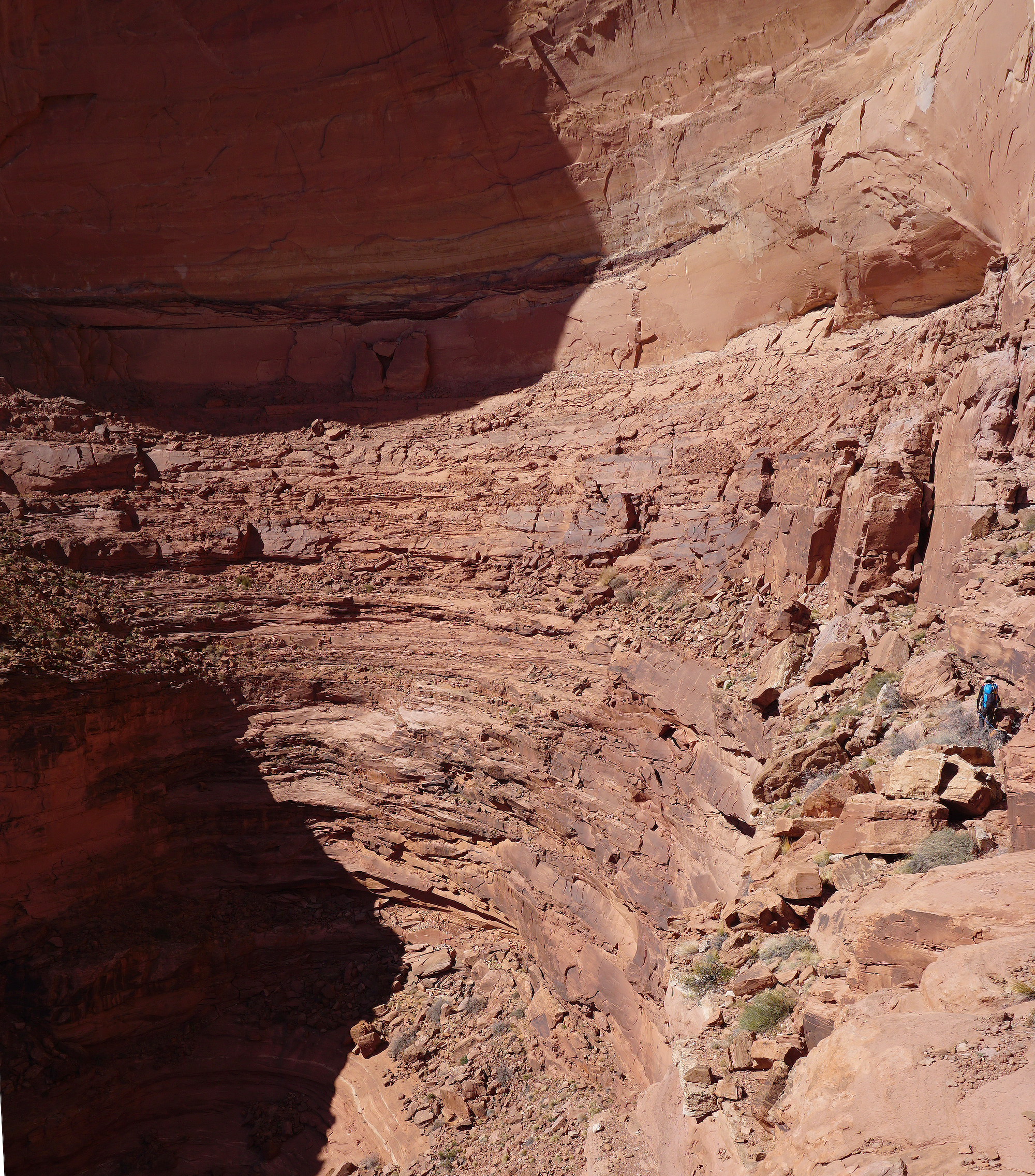
Castle arch from the closest vantage point. I tried climbing the holdless slabby slope on the left for further progress up the canyon, but it was just that degree or so too step to support  my feet.


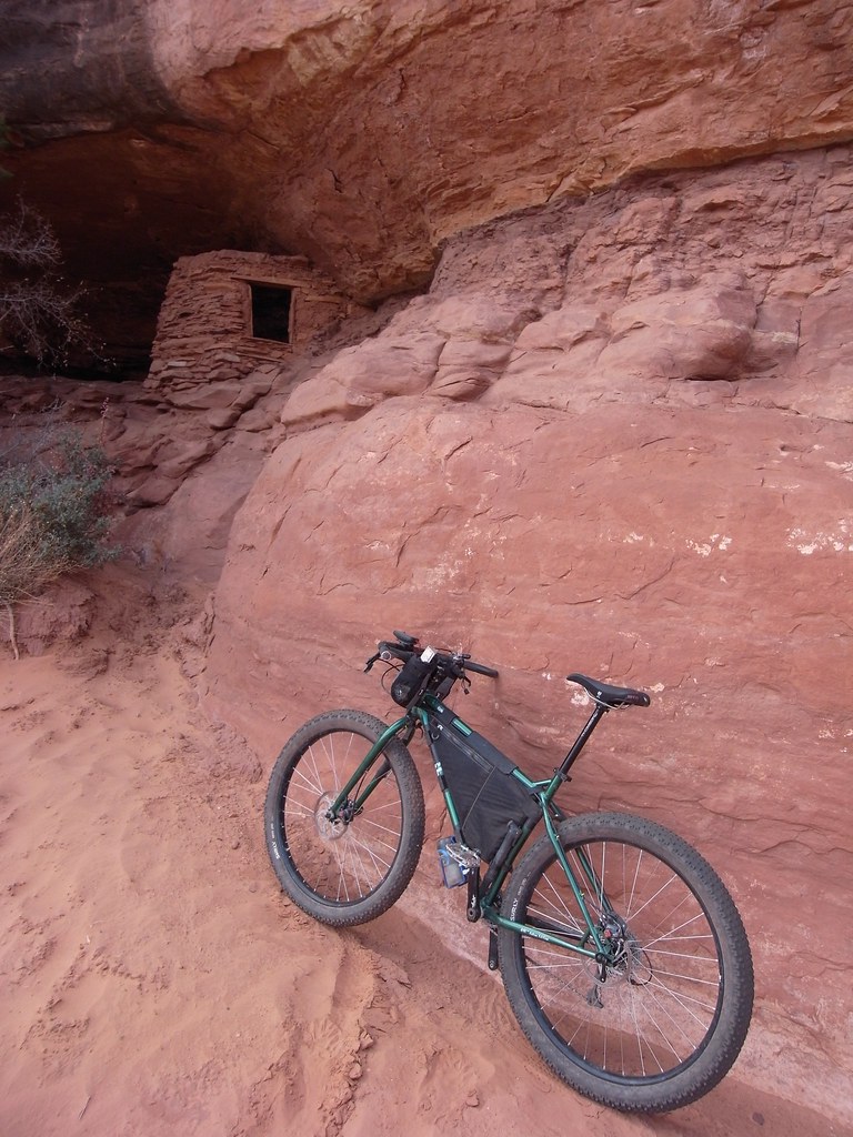
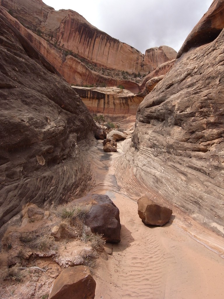
I came across many other arches too, but got nowhere near to see all the ones scattered in this complex canyon system reminiscent of the Maze proper. Anasazi ruins and structures appeared literally around every corner. Many of them would have required major climbing efforts to reach, not to mention build.


In the center of this pic near some gaping holes in horizontal seams is a big ruin with at least part of the steep climb up there aided by a leaning log.


All together a worthwhile day exploring in complete solitude, with the bike actually being pedaled the whole time, as opposed to pushed. Although no doubt a true fatty would have been considerable less effort.

bowknot mesa

The odd and somewhat cross-eyed view of the Green River from the top.

Finding a route to the top of Bowknot Mesa.

Spring 2014:  Inspired by Udink’s successful hunt for the hard to reach geocache on top of Bowknot Bend Mesa on the Green River, I launched my own expedition last Tuesday.
My wife had forbidden me to drive the family van down Spring Canyon with its exposed, narrow and somewhat rugged jeep road. Therefore I was forced to deploy travel method number one in my multisport adventure: a mountain bike. The ride down to the river is steep but very scenic.
Once at water’s edge I inflated a packraft and paddled vigorously 6 miles downstream in a little more than an hour. A few weeks earlier I was here with my family and scrambled up to Bowknot Bend’s prominent saddle from the south (a trip report is somewhere on Backcountry Post), so I knew this part of the route.
From the saddle I contoured around to the north side of the isolated island mesa and followed a path of least resistance up steep slickrock and along ledges to the top. The route is likely the only non technical way up, and very similar to Udink’s. There were a spot or two of exposed friction climbing on thinly featured slabs of sandstone; passages where non climbers either would obliviously scamper up or freeze to a standstill gripped by fear.
The summit plateau is rather vast and gently contoured without any distinct highpoint, but the edge all around is a massive terraced wonderland of ledges and steep canyons and abrupt edges falling to the river. Quite enticing. After spending a few hours rambling about up here I returned to the river on the opposite side of Bowknot Saddle and floated back to the bike and rode the steep switchbacks up to the van.
10 hrs roundtrip, 25 miles total combining bike, packraft and hiking.


At the take out before the south side hike up to BowKnot Saddle.


Looking back at the bowl containing the scramble up from the saddle.


A view from the rim


The packraft which has opened up so many new trip opportunities.


Packed up and ready to begin the ride back out of Spring Canyon.

vancouver island coastal backpack

Vancouver Island’s Juan de Fuca trail; a 3 day coastal backpack.


Summer, 2014: Vancouver Island’s west coast is an incredible area for adventuring. Vast, rugged, hard to access, complex to navigate and seldom presenting the traveler with favorable conditions, it’s a place whose secrets take time, experience and a fair bit of luck to uncover.
Sea kayaks are typically regarded as the best way to travel the outer coast of Vancouver Island, although the nature of things out there appeals almost exclusively to seasoned paddlers. Sudden summer gales mixed with cold water, fog, surf landings and strong currents all require extraordinary seamanship. Although this post is about something different, in the vein of paddling I should mention that we did a considerable outing this summer using packrafts in definite West Coast sea kayaking territory, and really liked how it worked out.
However, for landlubbers there are also 5 recognized backpack options, listed from south to north: Juan de Fuca trail, West Coast Trail, Hesquiat peninsula, Nootka Island and North Coast trail. The WCT off course is internationally renowned and hence so wrapped in red tape that it is near impossible to even gain a foothold. So forget that one. The Juan de Fuca  trail will be described in a bit.
The remaining three are nothing more than hard to find routes with boat or floatplane access only and receiving just sporadic user maintenance. On those remote beaches are where the full outer coast experience awaits. Some, like the Hesquiat/Escalante, see maybe 10 parties per season, and one has to be a strong hiker and very lucky with the weather to pull any of them off with just a week vacation.
The 30 mile Juan de Fuca trail at the very south end of the island is only a few hours of paved driving from Victoria, and considered the easiest of the five. None of the classic upper island access epics here; maintenance is regular and cars can actually get to both ends. Therefore logistics overall are simple with minimum planning and maximum payback. Perfect for a spontaneous fair weather weekend from the mainland.
That said, the hiking we encountered was surprisingly strenuous and rugged, with many steep, root-pulling style climbs, miles of beach cobbles and, although we hit the trail during a prolonged dry spell, long stretches of bottomless mud pits deep in the dark woods.
While only 30 miles most groups spend 4-5 days. 3 days is considered fast. We did it in two and half, in part thanks to the rare sunny skies, but also because a sizeable low pressure system was descending on the region from the Gulf. It was raining hard a few hours after we got out. As for hiking 10 plus miles a day of this sort of coastal terrain, well, it puts a strain on you. The constant up and over jutting headlands with scramble like moves, then hopping thru mud on half buried twigs and balancing on slippery logs across creeks makes it impossible to establish a rhythm, but it also keeps the attention tuned and makes for a fascinating journey. The beach segments were everyones favorite, off course, with the pounding surf from the typical Juan de Fuca blue sky gales, filling the air with mist and spray and sending the shorebirds hither and dither.
We camped on beautiful beaches for the two nights we were out there. Fresh water creeks came out of the forest next to our tent. The wind and crashing waves never let up.


millard canyon to horsethief, via packraft and backpacking

Zooming along the White Rim looking for a suitable launch.

Devil’s Slide to Horsethief Canyon; a packraft loop 

In October 2014, we managed to squeeze in an overnight trip with Bjorn this weekend. We started by leaving the car at the top of the Mineral Bottom switchbacks and pedaling down to the White Rim. After a while we stashed the bikes and paddled our packrafts down to Millard Bottom. This took most of the morning, as it’s a good 16 river miles to cover that stretch. The current is slow at this time of the year so we saw it necessary to paddle strongly to maintain a 4 knot average.

After lunch we hiked up the big dry wash of Millard Canyon, an impressively vast drainage that covers a lot of ground clear up to near Hans Flat. All over the territory featured on this trip there were evidence of recent huge flash floods scouring clean the canyons, and even forming big deltas in flatter areas not normally affected. Washes as wide as 100′ or more had signs of 4′ of flood water.
Anyhow, our goal in Millard was to find the side canyon containing the old Devil’s Slide trail. Using Kelsey’s customarily excellent info we easily navigated from the river to the base of this elusive feature in 2 hours time. The big climb itself is on a very old and barely existing cattle route up a formidable Wingate wall. It took a fair bit of attention to stay at or near the actual path, and various sections were quite eroded and therefore exposed to significant drops. The top out is marked by an old well drill fitting sitting on the edge of the rim, but have otherwise no trail or cairns leading to it. It would be tough to locate the trail from this angle.
After hiking across the mostly featureless expanse of the Lower Spur for some miles we found an appealing canyon rim to camp on. Having not seen any water since the river we were glad to have the couple of gallons we had lugged up here. By the time a moonless night took over the mid was up and a dinner of bagged salmon and cous-cous brewing.
Next morning’s first stage was to find the head of Horsethief Canyon and the cattle trail leading down. Not exceedingly difficult, but we did wander the rim a bit longer than needed because it was exhilarating as always to play around the sudden shift from horizontal to vertical. Once down in bottom via the faint old trail we came across the first water since the river in the form of a very generous spring source filling and over flowing sandy pools in a flood ravaged canyon.
This Wingate defile is a long one. From the narrow, verdant and shady upper reaches to the open sun baked slog of the endless lower canyon it seems like most of the day was spent on this portion our adventure. Again we marveled at the violence of the September floods, cutting ten foot banks out of sand deposits and uprooting mature cottonwoods. Around mid afternoon the appearing mudflats of a receding river prompted us to inflate our packrafts and drag them behind us the last stretch. A firm substrate a foot down below the clay slip allowed us to do this.
Crossing the Green was simple, but gaining a landfall on the opposite side was near epic. Negotiating the collapsing steep bank from sitting in a squirrelly packraft in swift current, to hacking our way into impenetrable tamarisk thickets provided some of most fun we had that day, seeing us moving the very short distance from river to White Rim road in maybe 45 minutes.
All that was left then was to locate our bikes and ride up the Mineral switchbacks to the car.


Paddling the Green on the way to Millard Bottom


Bjorn playing in an eddy before packing up and starting the backpacking portion of our trip.


The expansive drainage of Millard Canyon stretching out behind Bjorn. Cleopatre’s Chair in the distance.


Approaching the wall containing the Devil’s Slide trail. At this point we had no idea where it ran.


Checking the copy we did from Kelsey’s book midway up the trail.


Camp on the edge of unnamed side canyon to the Green.


Surveying the monotone expanse of the Spur before heading out to find the head of Horsethief Canyon.


Looking into Horsethief.


The well defined upper beginning of the trail into Horsethief. Soon hereafter it deteriorated into loose rubble and erosion.


Flood damage in upper Horsethief.


Lower Horsethief.


Getting real close to the Green.


Readying for the 2 minute paddle across the river.


Trying to gain a hold on the White Rim side of the river, so we could fetch our bikes and ride back to the car.


Bjorn changing into the climbing gear on his dingle speed, before attempting the Mineral climb.